History of the Morongo Basin Communities
The Morongo Basin is a valley region located in eastern San Bernardino County, in Southern California. It includes part of the Inland Empire region and is considered to be the very easternmost portion of the Greater Los Angeles Area. This massive drainage basin stretches from the Little San Bernardino Mountains north of Interstate 10 down in the south, up to the Interstate 40 area in the north. The Morongo Basin is east of the city of San Bernardino and San Bernardino Mountains, and north of the Coachella Valley and Colorado Desert, located within the Mojave Desert and in the High Desert region of Southern California.
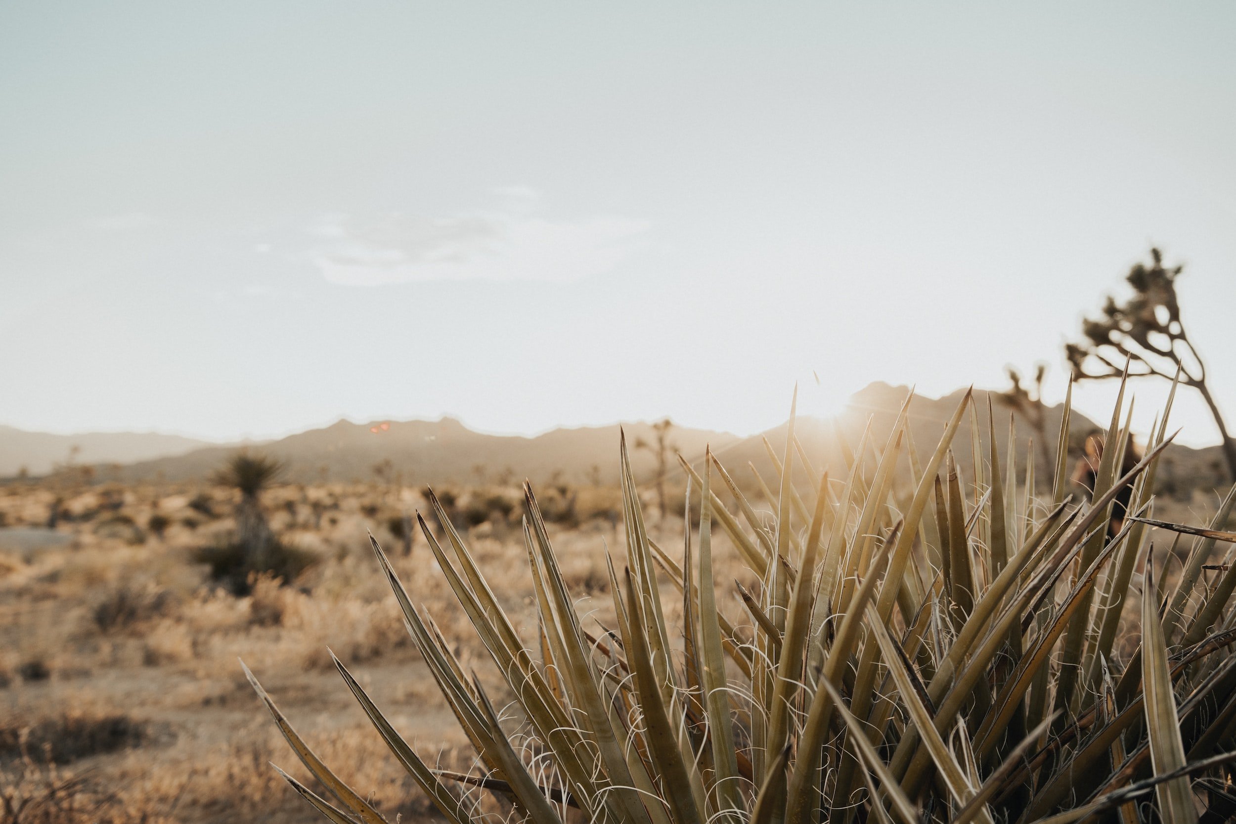
Here, the elevation varies from 1,950 feet in Twentynine Palms up to 4,200 feet in Pioneertown. The climate is mostly arid desert offering hot, dry summers and cool winters with occasional rain and snow. Snow typically falls here in areas above 1,500 feet in elevation. While Joshua Tree National Park supports most of the tourism to the Morongo Basin, there are many other local features to enjoy here, like The Desert Christ Park sculpture garden, the Big Morongo Canyon Preserve, Pioneertown’s Pappy & Harriet’s, Grubler’s Orchid Garden, Giant Rock, the Integratron and many more.
Following statehood, California saw the start of the California Indian Wars which lasted from 185o - 188o. These conflicts arose for many different reasons but none more-so than the large western migration through Native American territories, inspired by the California Gold Rush. The American Civil War ended in 1865, but civil conflicts were still abundant in the land. The Mojave Desert Indian Campaign, a retaliation from a San Bernardino County Posse against Chemehuevi raids on miners & ranchers in San Bernardino, lasted from 1866 - 187o.
On May 15th, 1876, President Ulysses S. Grant, by executive order, created nine reservations in the area, including Potrero Ajenio, also known as the San Gorgonio Agency. Originally established in 1865, the site lay at the foot of the San Gorgonio and the San Jacinto Mountains, in present day Banning. Its name is derived from Potrero, meaning 'Horse Pasture' and Genio, the name of a Cahuilla chief. The first official "Captain" of Potrero Ajenio who acted on behalf of the Bureau of Indian Affairs, known to Americans by his English name, John Morongo, was the hereditary leader of a Serrano clan called the Maarrenga'. What we currently know as Morongo Valley was first shown on maps in the late 185o's as the “Marengo Pass”.
The valley was originally a Marrenga' village and home of the Serrano Shoshonean clan until 1876, when the U.S. government began relocating local Indian tribes to reservations. As settlers to the valley began to replace the native Americans, they preserved the historical name, but modified it to sound more English. The natives to the valley moved to the reservation in Banning and, as time went on, the Bureau of Indian Affairs began to refer to the tribe as the Morongo Band of Mission Indians. That name grew to encompass many different Indian tribes in areas spanning from the mountains just north of Palm Springs all the way up to U.S. Route 66. It was John Morongo who, in turn, is responsible for the name of the great Morongo Basin in Southern California.